
TerraLens
Fly the Earth with your hands and your voice.
TerraLens is a 3D geographic instrument you operate by hand gesture, by voice or by keyboard. Bring any dataset you own and it becomes a layer, with its source and licence printed beside every number.
See it on your own data
Hands and voice, on the device
Hand-landmark and speech models run inside the browser. No video and no audio ever leaves the device.
Any dataset, with its source
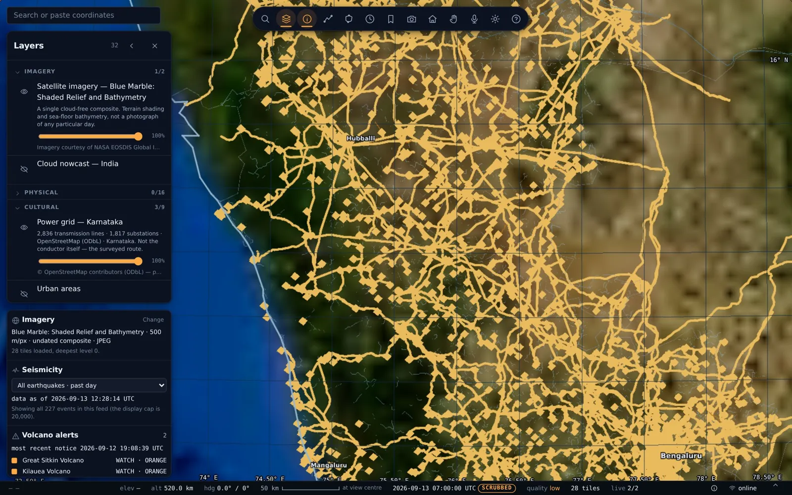
GeoJSON, shapefiles, GeoPackage, OSM extracts and cloud-optimised GeoTIFFs become layers. A layer without a stated source refuses to load.
Runs anywhere, installs nowhere
A directory of files behind any static web server. No build, no account and no API key, and the vector Earth renders with no network at all.
What it does
- 16 India datasets ready to switch on, from rivers and glacial lakes to hospitals and drone zones as shipped, 13 Sep 2026
- 11 basemaps, including 10 NASA imagery products and an OpenStreetMap street map as shipped, 13 Sep 2026
- Zoom from orbit to 1 km above the ground with lines kept sharp measured on the live build
- Geodesic measurement, choropleths, time windows and shareable state in the URL
- Private rasters stay behind a read-only proxy on your own host
An unknown value prints a dash, never a zero. Nothing geographic is fabricated or interpolated to fill a gap.
Who it is for
- Planning and infrastructure departments
- Utilities mapping networks and assets
- Command centres and briefing rooms
- Research and GIS teams
How it starts
Send your files
In the format you already have.
Bake
Your datasets onboarded as layers, typically within a day.
Fly
On a laptop, a phone on a stand or a wall display.
See it on your own data
Write to us and we will set up a walkthrough of TerraLens on live data.
Email info@aionpl.com